The prairie potholes of ND
I am in what is often referred to as the prairie pothole region. It is an ecological and geological fascinating area of North Dakota. I’m sure many of you have never heard that term before. It is a massive network of shallow wetlands pockmarking the grasslands of the state. It is also duck heaven.
Potholes were formed around 10,000 years ago, during the end of the Pleistocene epoch, the Wisconsin glaciation (the last great Ice Age) retreated across what is now North Dakota. As these massive glaciers melted and receded, they left behind a messy, uneven layer of glacial debris called "till." Blocks of ice broke off and became buried in this sediment. When those trapped ice blocks finally melted, the ground collapsed inward, leaving millions of shallow, bowl-shaped depressions. Because the landscape is geologically young, it never developed an "integrated drainage system"—meaning there are very few rivers or streams to carry the water away. Instead, these bowls catch spring snowmelt and rain, creating isolated wetlands. This unique landscape produces over 50% of North America’s migratory waterfowl every single year. This is prime breading ground for all kinds of mallards, gadwalls, blue-winged teals, northern shovelers, pintails, canvasbacks, and redheads. It has been an adventure exploring the area.
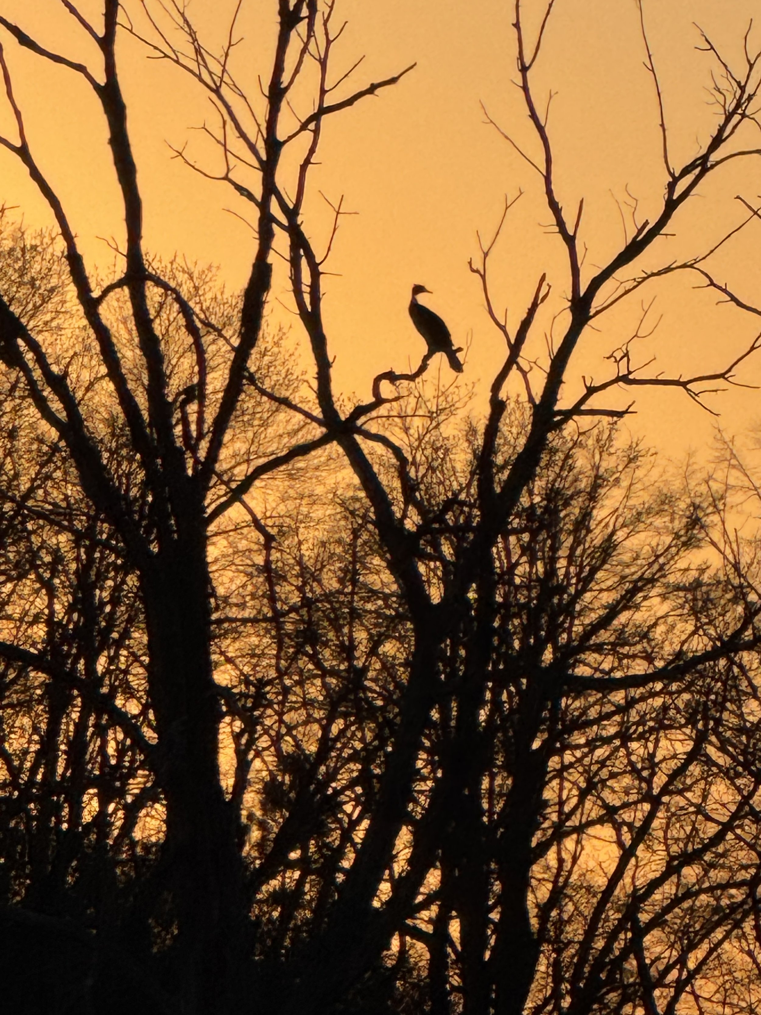
A surprise siting for me was the American White Pelican. I’ll be talking a little bit more about that tomorrow. Have a great day.
If you would like to see more content from me, join me over on my Substack at https://macturkphotos.substack.com/